
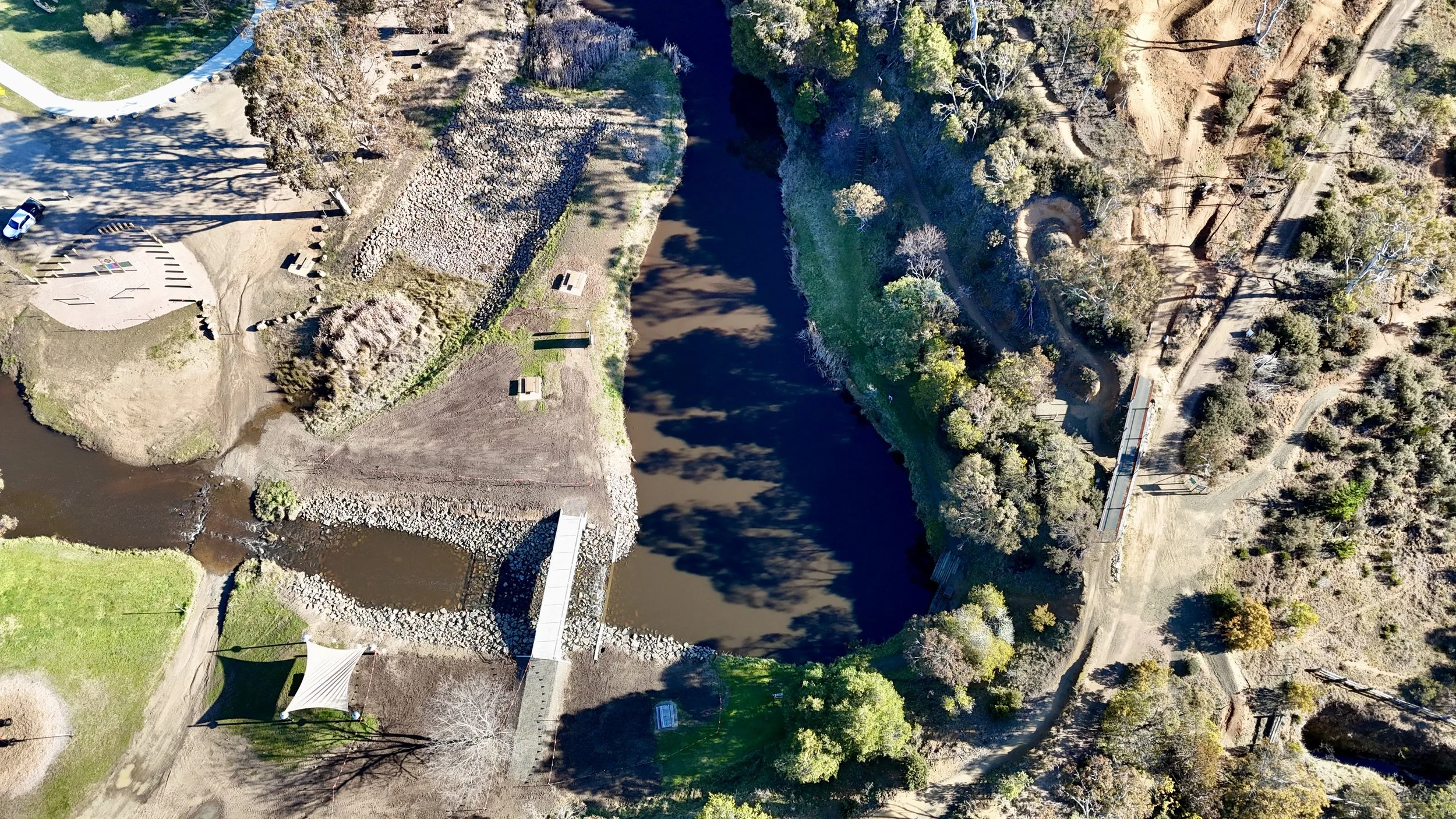
Aerial mapping & surveying
Accurate aerial data for planning, measurement, monitoring and practical decisions on the ground.
Built for real operating conditions
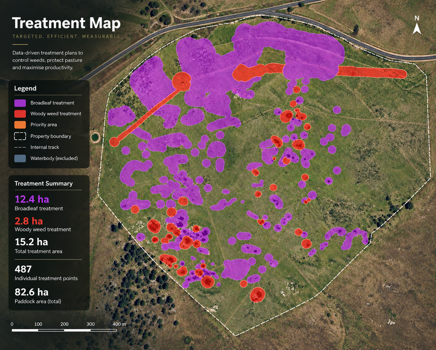
Four Peaks Pastoral delivers high-resolution aerial mapping and survey services for agricultural, environmental and infrastructure projects across Australia.
RTK-enabled drone technology captures detailed imagery and geospatial data that can be used to understand a site, plan work, measure change and create a defensible project record.
Mapping capability
High-resolution RGB orthomosaic mapping
RTK survey-grade mapping
Digital Surface Models (DSM)
Digital Terrain Models (DTM)
Contour mapping
Elevation and slope analysis
Volumetric surveys
Asset and infrastructure mapping
Property and boundary mapping
Environmental and plantation mapping
Progress and compliance monitoring
GIS data collection and management
Construction and earthworks surveys
Need this capability on your project?
Tell us about the site, timing and outcome you need.