

Integrated aerial operations & land management
Geospatial intelligence and practical solutions that support agricultural enterprises, environmental restoration, carbon projects, forestry operations and government agencies throughout Australia.
Precision aerial application
Safe, accurate application across agricultural, environmental and carbon projects throughout Australia
Aerial mapping & surveying
Accurate aerial data for planning, measurement, monitoring and practical decisions on the ground.
LiDAR survey & terrain intelligence
Three-dimensional terrain and vegetation intelligence for complex sites and decisions.
Environmental & carbon project support
Integrated field and aerial support across the full life of restoration and carbon projects.
Agricultural intelligence
Useful agricultural information shaped by practical farming, agronomy and livestock experience.
Thermal wildlife & animal surveys
Efficient animal detection across large or difficult areas with minimal disturbance
Project verification & reporting
A clear, dated record of work completed, conditions on site and measured progress.
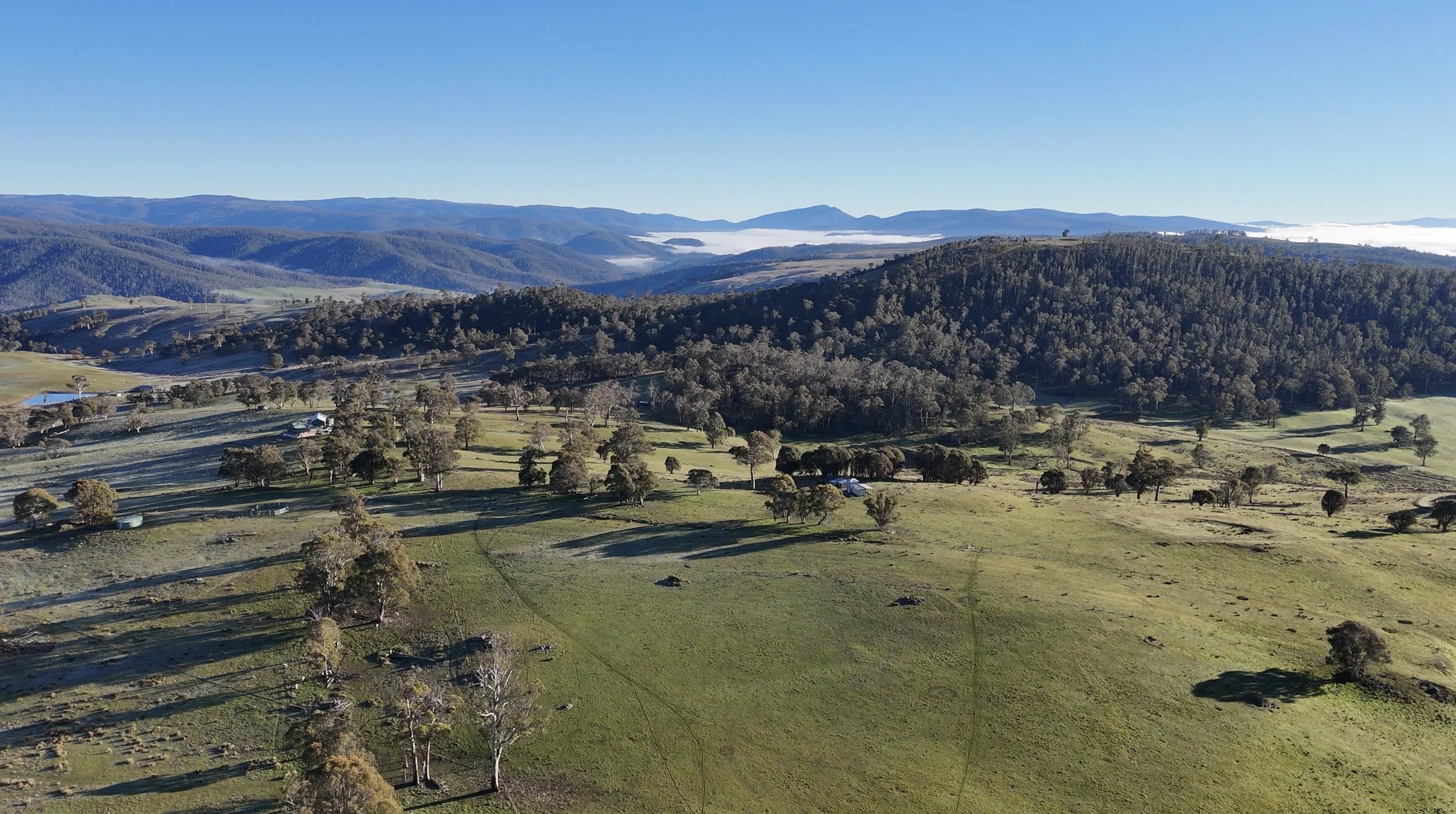
Professional delivery, wherever the work takes us
Four Peaks operates across Australia with the equipment, trained personnel and consistent procedures to support projects of any size.