
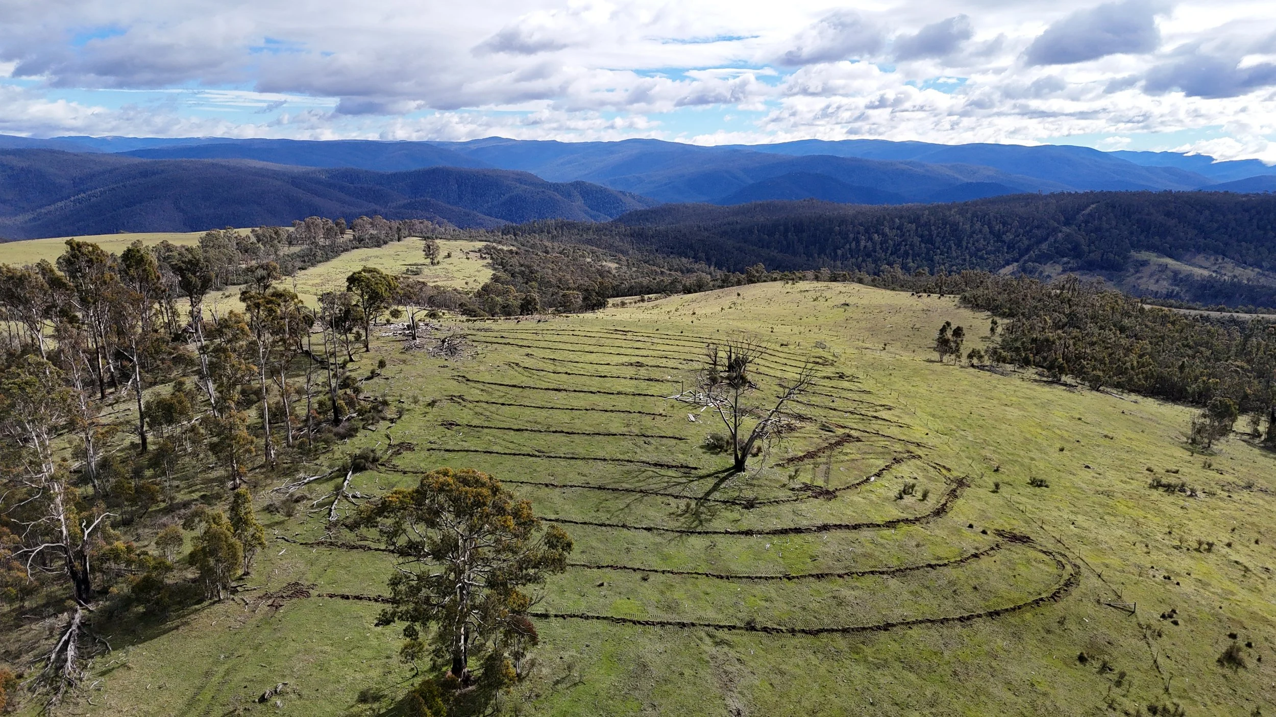
Environmental & carbon project support
Integrated field and aerial support across the full life of restoration and carbon projects.
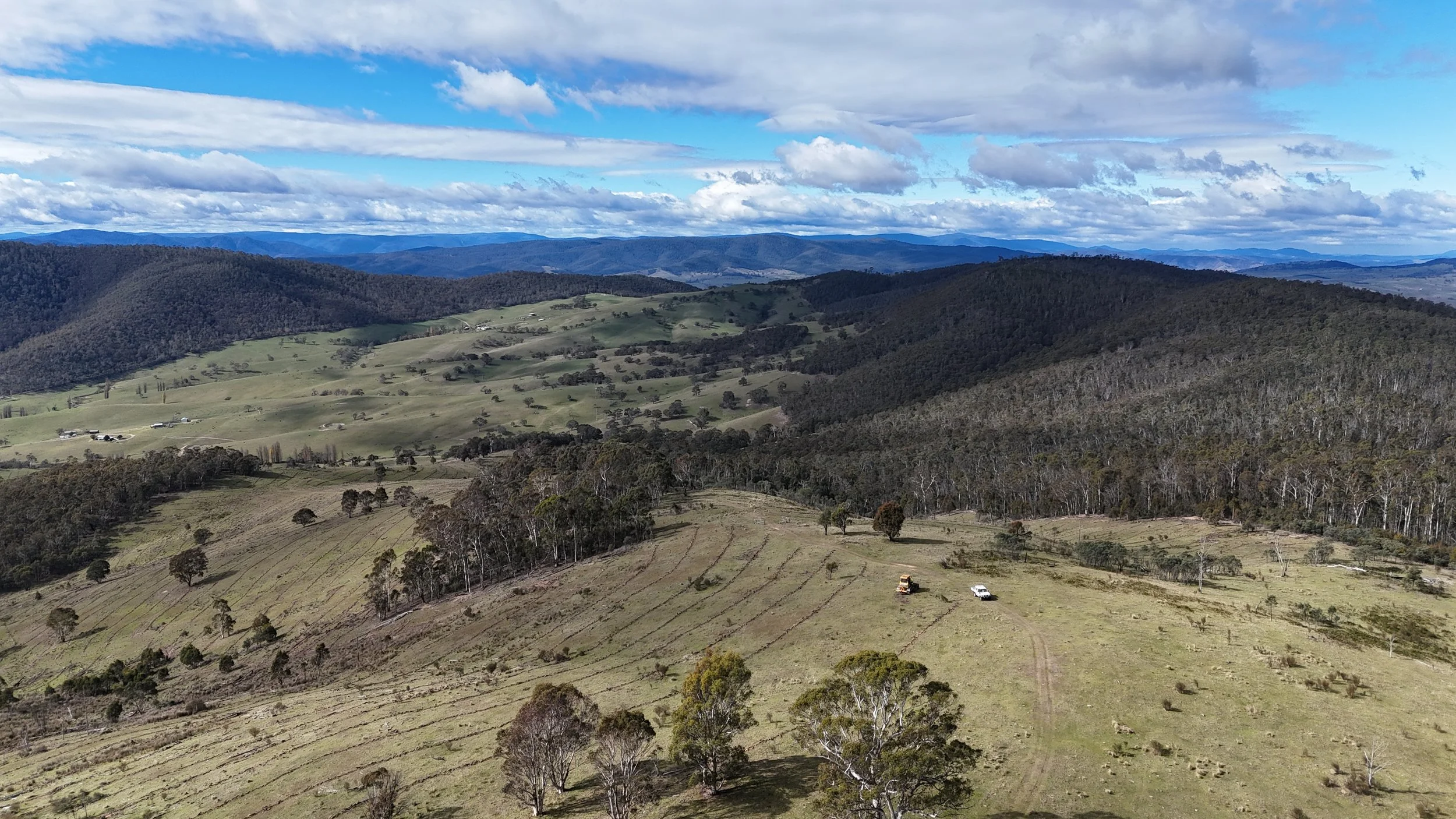
Built for real operating conditions
Four Peaks Pastoral supports environmental restoration, revegetation and carbon sequestration projects from early planning through establishment, monitoring and maintenance.
Mapping, LiDAR, aerial application and verification can be combined into one practical delivery plan, with the field experience needed to work around terrain, livestock, seasonal conditions and operational constraints.
Project support capability
High-resolution baseline aerial mapping
LiDAR terrain and vegetation surveys
Project planning and geospatial analysis
Pre-plant site preparation
Precision herbicide application
Weed and pest vegetation management
Plantation establishment support
Vegetation health monitoring
Tree survival and establishment assessments
Fuel load and dry matter monitoring
Grass overspray programs
Woody weed and blackberry control
Thermal wildlife and pest surveys
Carbon project verification and reporting
GIS data collection and management
Ongoing monitoring and maintenance programs
Need this capability on your project?
Tell us about the site, timing and outcome you need.