
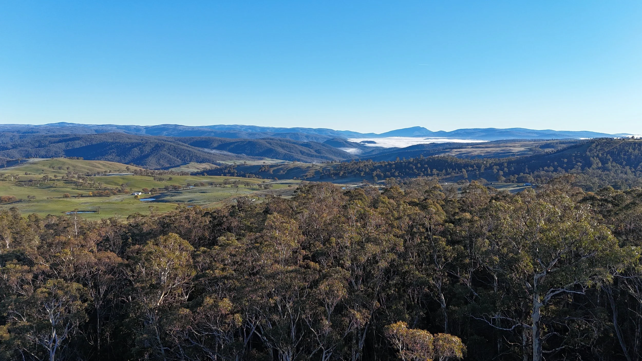
Thermal wildlife & animal surveys
Efficient animal detection across large or difficult areas with minimal disturbance.
Built for real operating conditions
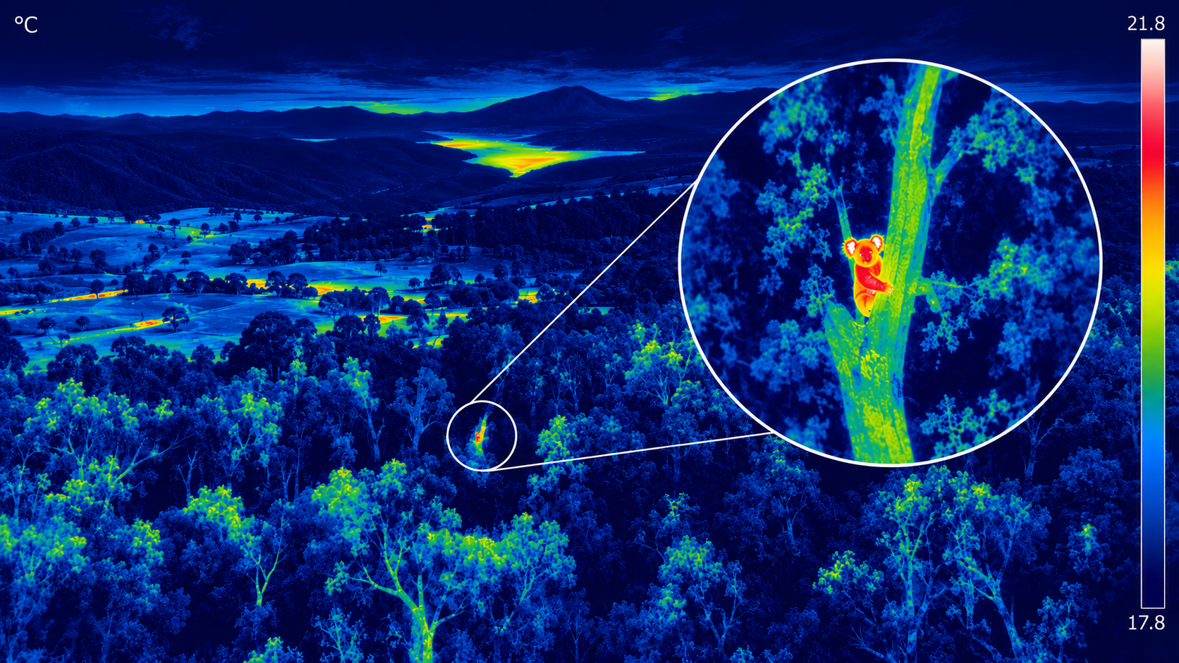
Thermal imaging can detect and locate animals that are difficult or impossible to identify in conventional aerial imagery.
Four Peaks Pastoral can survey large areas efficiently while limiting disturbance to livestock and native wildlife, then provide mapped observations for property, project or ecological teams.
Thermal survey capability
Pest animal detection and population surveys
Feral deer, wild dog, fox and pig monitoring
Kangaroo population assessments
Livestock location and recovery
Native wildlife identification and habitat monitoring
Pre-operational environmental assessments
Plantation and carbon project wildlife monitoring
Biodiversity and ecological reporting support
Need this capability on your project?
Tell us about the site, timing and outcome you need.