
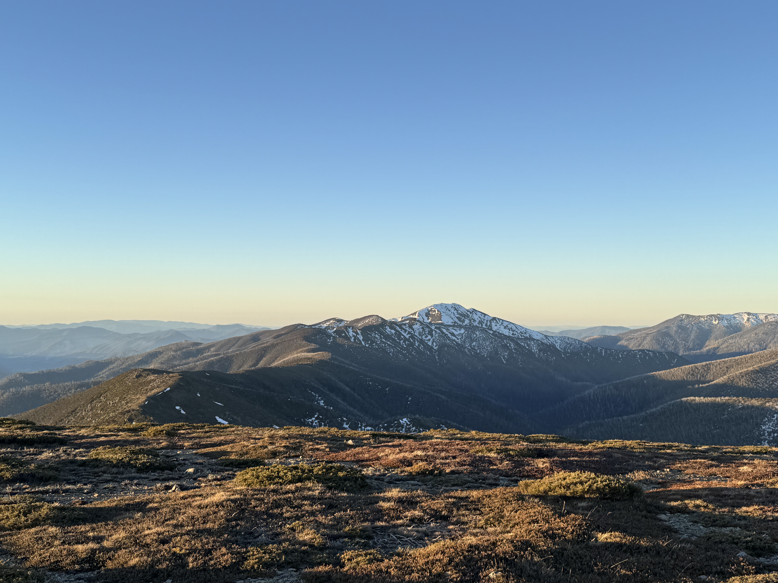
Project verification & reporting
A clear, dated record of work completed, conditions on site and measured progress.
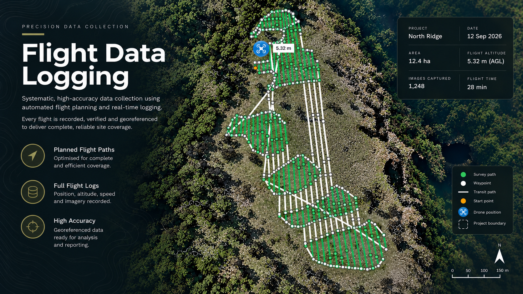
Built for real operating conditions
Every project can be supported by practical reporting that records what work was completed, where it occurred and the conditions at the time.
Mapped evidence, imagery and operational records help clients review delivery, communicate progress and retain a consistent project history.
Project capability
Treatment maps
Flight records
Weather records
Chemical application records
Before and after imagery
Progress reporting
GIS data
Client-ready verification reports
Need this capability on your project?
Tell us about the site, timing and outcome you need.